Changri Nup Glacier Monitoring Expedition
24 September - 24 October 2003
Glaciers Monitoring and Trekking Routes Surveing using GPS and Laser Scanning Devices in the Everest-Lhotse-Annapurna Himalayan Range
Activities:
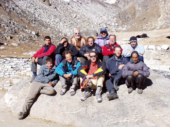
GPS monitoring of the deformations of the Changri Nup glacier and the glacial moraine embedding the Imja Tcho lake. (G.Vassena, F.Carcano, S.Mariotti,G.Squicciarini)
3D scanning of the Lobuche glacier front with a laser scanner device and subsequent metrological analysis and deformation forecast. (C.Lanzi, M.Sgrenzaroli, C.Alippi, A.Giussani, F.Roncoroni)
Integration and update of trekking and base camp routes of the Sagarmatha (Everest) National park with GPS devices. (C.Alippi, A.Giussani, F.Roncoroni)
A first GPS survey of the Annapurna range trekking routes. (C.Micheletti, S.Bonomini)